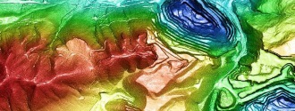
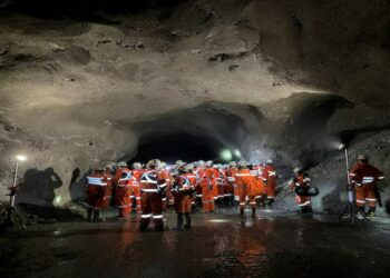
PhotoSat’s 30cm accuracy satellite topographic mapping shortens timelines and saves costs throughout the mining exploration and production process.
Mining engineers are using our topographic data for:
- Open pit mining volumes.
- Improving volumetric change calculations in leach pads and stockpiles, and measuring and monitoring tailings.
- Mapping toes and crests and eliminating the need to expose ground survey crews to hazards.
- Accurate elevation data for mine site planning and construction, feasibility studies, and reserve and resource estimates.
- Improving the accuracy and reliability of drill hole collar coordinates for resource estimates and feasibility studies.
- Mining exploration, including project base mapping and structural geology.
Experience
PhotoSat has completed over 600 international topographic mapping projects since 2004:
- Over 600 Highly Accurate Satellite Topographic Mapping Projects
- click to view larger image
- Highest accuracy
PhotoSat produces the world’s most accurate 1m bare earth topographic grids with 1m contours from satellite photos using our unique geophysical stereo satellite processing system. We produce mine surveys with 4 times the elevation accuracy of conventional satellite elevation mapping. Our accuracies have been proven using tens of thousands of ground survey points for comparison. View our Proof of Accuracy Reports.
To achieve 30cm accuracy PhotoSat uses a unique and proprietary set of algorithms that were derived from oil and gas seismic processing. Find out more about our data processing methods on the Technology page.
PhotoSat topographic mapping benefits:
- Engineering quality topographic mining surveys available globally.
- Simplifies the surveying process:no in-country presence or permits.
- Cost-effective alternative to ground surveying, LiDAR and ortho photogrammetry.
- Minimizes the exposure of field crews when accessing hazardous or remote areas.
- Custom formats and projections.
Satellite topography pricing
The digital topographic data package is provided on a project-by-project basis. Please provide us with the extents of your project area and we will prepare a quote.
Package Includes:
- 1m bare earth digital topographic grid (DEM)
- 50cm or 1m contours
- 50cm satellite ortho photo
- 1m colour elevation image
- 1m slope direction (aspect) image


